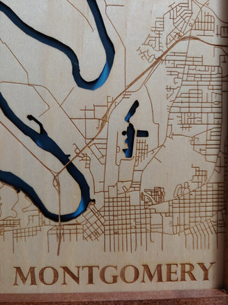
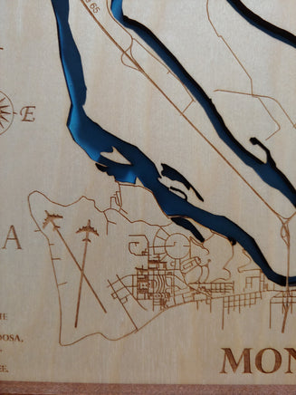
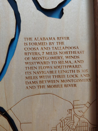
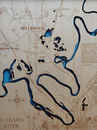
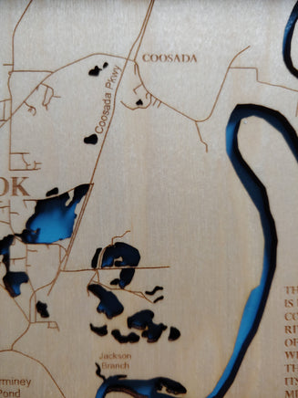
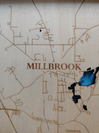
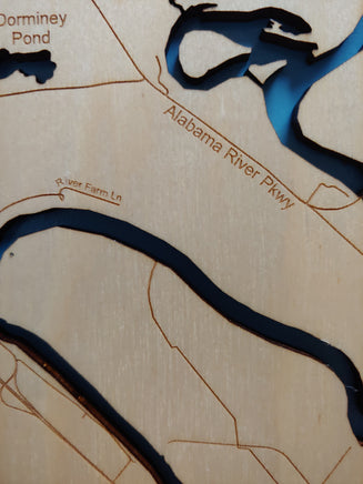
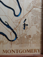
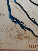
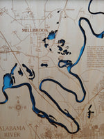
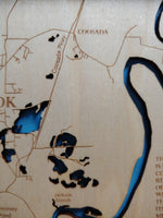
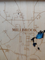
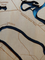
This is a beautiful, detailed, laser engraved and precision cut map, including lake information such as surface area, elevation and maximum depth.
Included With All Maps:
- Points of interest laser engraved into the map face
- A blue, self-adhesive Swarovski crystal to mark your preferred location on the map
**Please note: Actual layout may vary based on size. If you'd like to see a proof of the layout prior to production, let us know,
Custom Engraving Available
Add up to 2 lines of custom engraving at no additional cost!
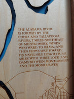
Our beautifully detailed, laser engraved and precision cut map of Alabama River, Alabama with the following interesting stats carved into it:
Choose your size and style during checkout.
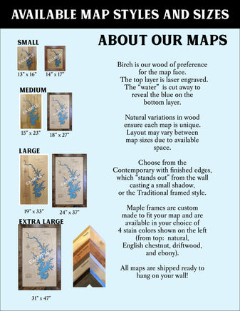
Click here to learn more about our styles and sizes.
Included with all maps:
- Points of interest laser engraved into the map face
- A blue self-adhesive Swarovski Crystal to mark your preferred location on the map
- Finest woods with special attention to detail
- Each map is hand sanded multiple times, assembled and given a clear coat for a lustrous wood shine
Personalization Available: Add up to two lines of engraving at no additional charge. Leave notes during checkout and we will email a graphic proof to you for approval prior to production.
Example:
Please note:
- Each map varies slightly in finish and color due to the natural variances in wood. Wood grain, knots and final finish color may be slightly different than pictured
- Let us know your preference of lighter or darker wood finishes
- Birch is our wood of preference for the map
- On smaller maps (13 x 16 and 14 x 17 framed) it may be hard to read road names and if the lake has islands they will not be included.
We believe that this personal attention that each and every item receives makes each wooden item a beautiful, unique work of art.
Feel free to ask for sample images of the size and mounting preferences.
You may also like:
Your lake of choice Boat Paddle
Interesting factoid: Akers Pond flows via Clear Stream to the Androscoggin River and thence into Maine. The most popular species caught here are Largemouth Bass, Rainbow trout, and Brook trout. (Not all of this information made it onto the map, we just love to read up on the lakes we design).


